Lines are levels
Every point on one line sits at the same height. The label is an elevation, measured from a stated reference called the datum. Before reading the shape of a lot, find that reference and the interval between lines. A two-foot contour drawing contains a line for every two feet of change. It says nothing about the color of the grass, but it says quite a lot about the work beneath a driveway.
Spacing is slope
Close lines mean steep ground. Two-foot contours ten feet apart give one foot of fall in five. That is a driveway you will think about in February. Follow the lines across the whole lot before choosing a place for the house. A short steep patch may be avoided. A steady fall across the full building area is part of the house, whether the drawing acknowledges it or not.
Find where the water goes before deciding where the house goes.
Where water goes
Water crosses contour lines at right angles. Find where it goes, then do not put the house there. A shallow hollow can collect a great deal of runoff from uphill. Look beyond the proposed footprint to the road, the neighboring ground and the low point. The contour drawing is a starting question for drainage design, not a drainage design by itself.
Highlighted contour: 122 ft. Use the left and right arrow keys to compare neighboring levels.
Spot elevations and the benchmark
A spot elevation records a single measured height. It is useful at a road edge, a threshold or the top of a wall, where the exact number matters. The benchmark is the place against which those numbers can be checked again. Keep it visible and keep the datum on every drawing. Mixing references can make two correct numbers disagree.
What the survey does not show
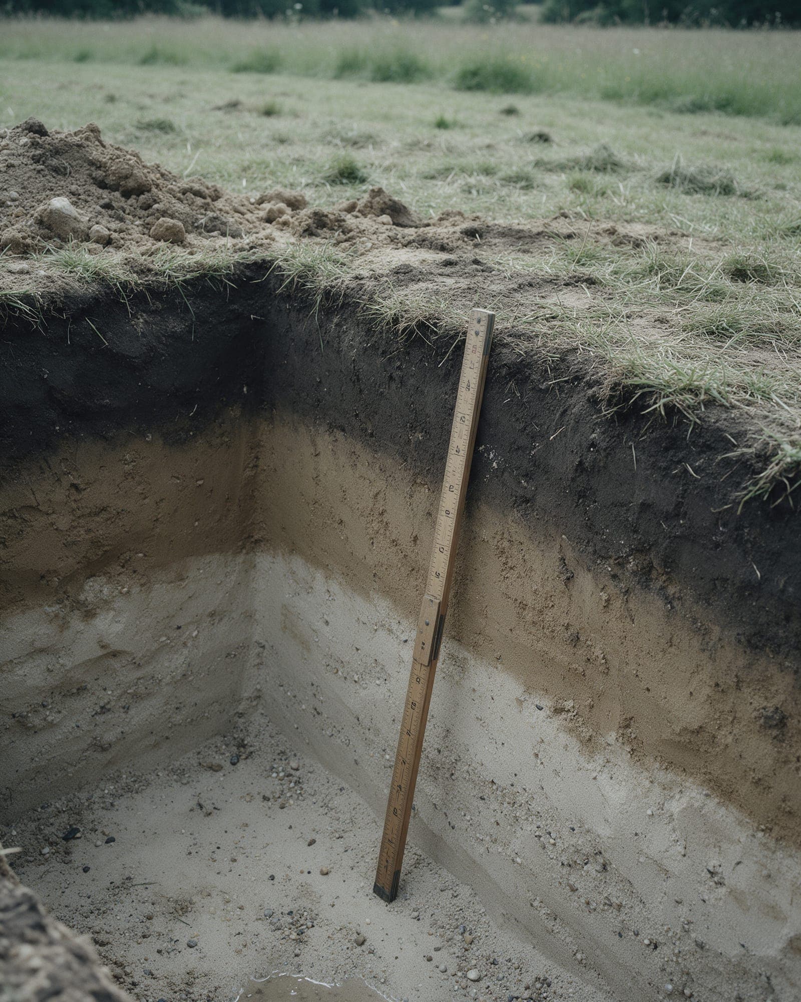
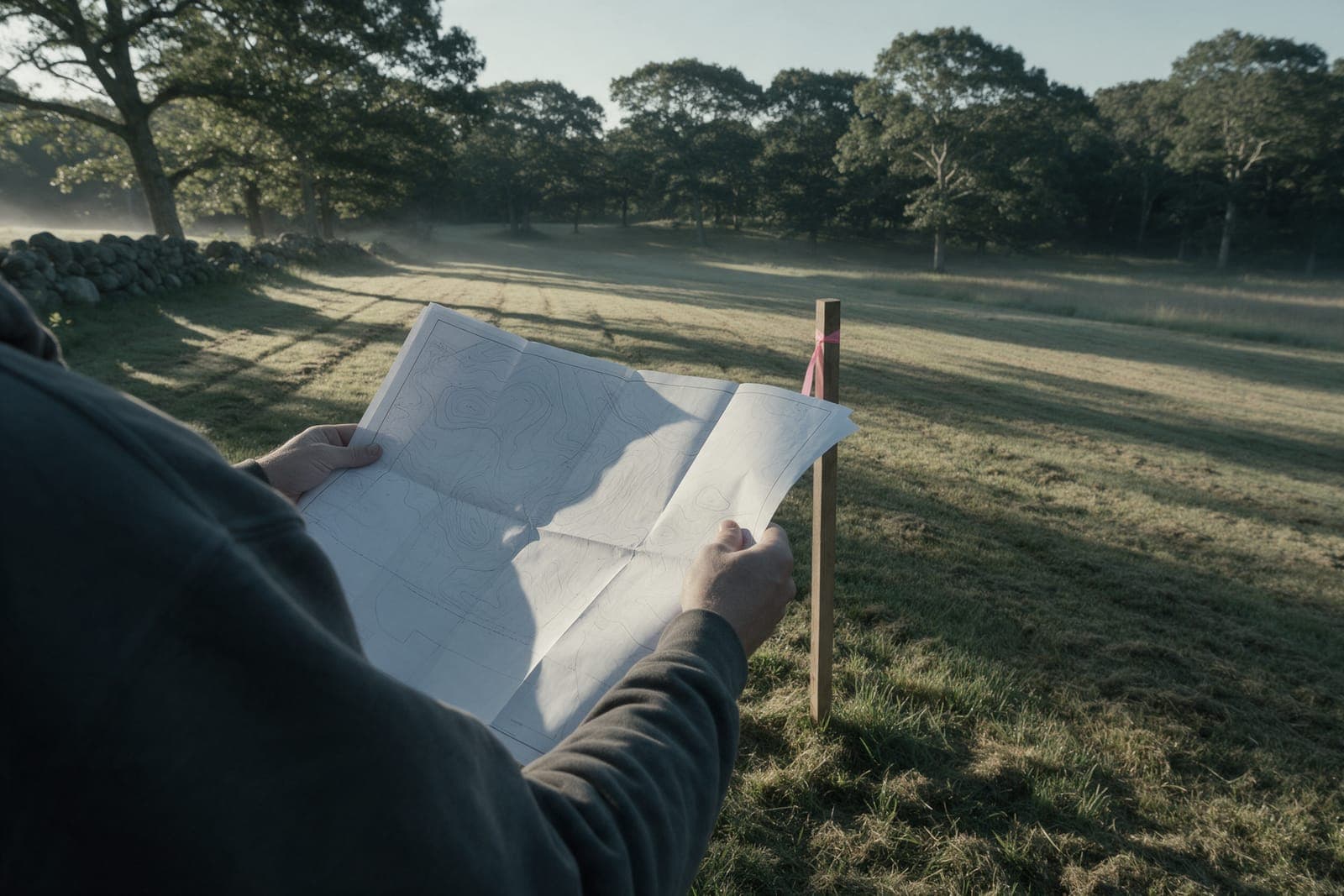
Soil and groundwater. That is what the test pit is for. A smooth contour cannot tell you whether the ground below it is clean sand, fill or ledge. Ask when the survey was made, which datum it uses and whether the trees were located. Then walk the ground with the sheet in your hand. The lot will supply the questions the linework could not.